Ever wondered how surveyors measure land, buildings, and other structures so accurately? They use special tools that have improved over many years. From simple tools like plumb lines to advanced laser scanners, surveying equipment is essential in shaping our world.
This guide will explain how surveying equipment works, the different types, and the technology behind it. Whether you’re a student, a professional, or just curious, you’ll find this information interesting and useful.
Basics of Surveying Equipment
Surveying equipment is used to measure distances, angles, and heights. These measurements help create accurate maps, plans, and designs. While the tools and methods may differ, the basic principles are the same.
Types of Surveying Equipment
There are many types of surveying equipment, each suited for different tasks:
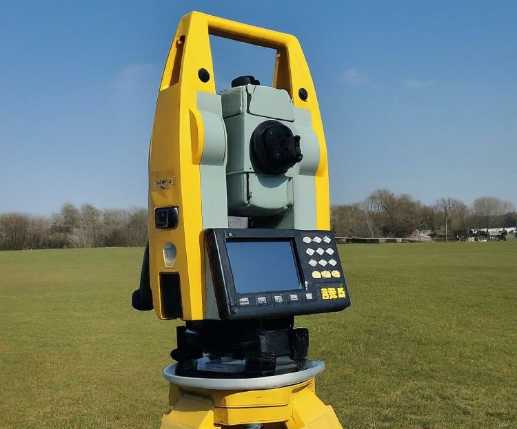
Total Stations
These combine a theodolite and an electronic distance meter (EDM) to measure angles and distances at the same time. Total Stations are used in construction, land surveying, and engineering projects.
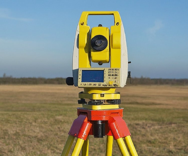
Theodolites
These measure angles very precisely. They have a telescope mounted on horizontal and vertical axes. Theodolites are used in topographic surveys and alignment tasks.
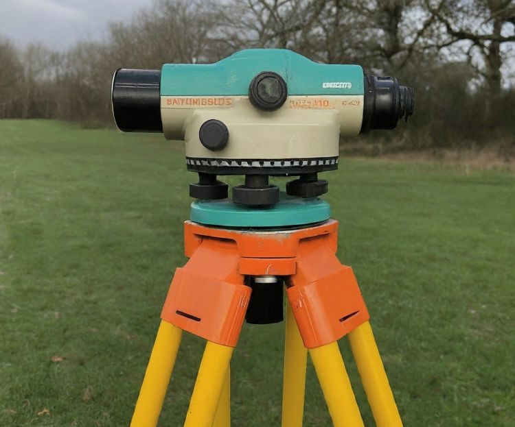
Levels
These establish horizontal lines and measure height differences. They have a telescope on a tripod and a leveling vial for accuracy. Levels are crucial for construction and land leveling.
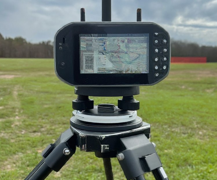
GPS Receivers
These use satellite signals to find exact locations on Earth. GPS Receivers are used for navigation, mapping, and surveying large areas.
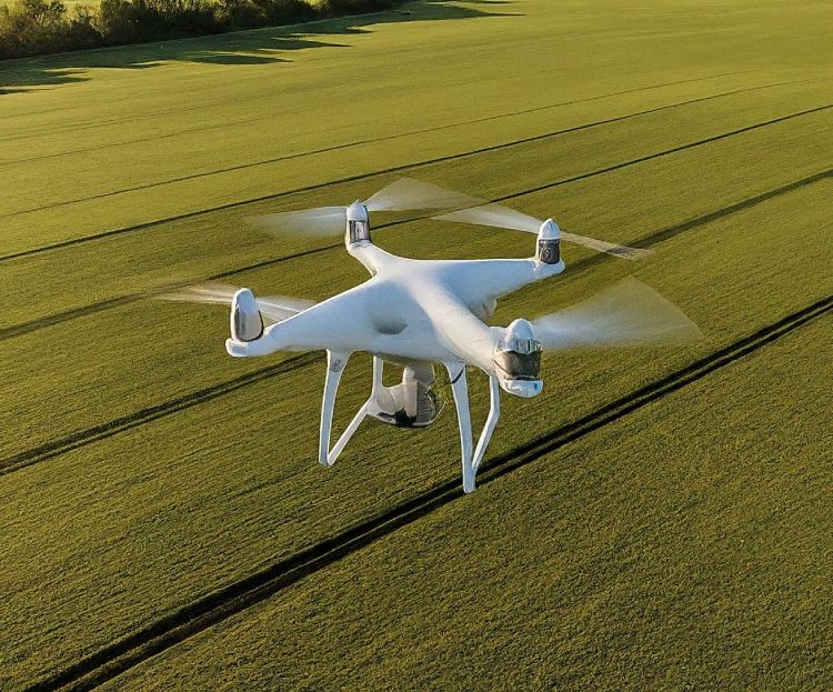
Drones
These unmanned aerial vehicles (UAVs) have cameras and sensors to capture aerial images and create detailed 3D models of the land. Drones are increasingly used in surveying and mapping.
Surveying Equipment Technology
Surveying technology has advanced a lot recently. Key technologies include:
Laser Technology: Used in EDMs and scanners to measure distances quickly and accurately.
Electronic Distance Measurement (EDM): Uses infrared or laser beams to measure distances between points.
Global Navigation Satellite Systems (GNSS): Technologies like GPS, GLONASS, and Galileo provide precise positioning information.
Geographic Information Systems (GIS): Software used to collect, manage, analyze, and visualize spatial data.
Conclusion
Surveying equipment is vital for measuring, mapping, and understanding our environment accurately. From traditional tools like theodolites to modern drones, these tools help professionals complete complex projects and make informed decisions.
As technology evolves, we will see even more innovative surveying tools. Understanding these tools and their uses helps us appreciate their contributions to society.
Australian Survey Equipment
If you’re looking for high-quality surveying equipment, consider renting from Australian Survey Equipment. They offer a wide range of tools to suit your specific needs, whether you’re a student, professional, or hobbyist. Contact us to learn more about our rental options and services.
